The Unique Appeal of a 3D Wooden City Map
6th Nov 2020
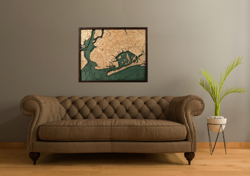
Most people are accustomed to seeing maps displayed on walls. While two-dimensional world maps and three-dimensional globes can be beautiful accessories, 3D wooden city maps can inspire a level of interest that surpasses conventional cartographical displays. Technological innovation has made it possible to craft a laser cut and etched 3D wooden city map in fine detail. Learn more about how a 3D wood map draws interest and contributes to the aesthetic appeal of any space.
Showcase Your Favorite Location
City natives and residents can appreciate 3D maps of locations carved out of wood. Choose from a variety of maps of cities on the East coast of the United States, from the New England coastline and the five boroughs of New York City all the way down the Atlantic seaboard. You can also choose from numerous maps of cities located on the coast of the Gulf of Mexico, including the Florida Keys, Tampa, New Orleans, Houston and Galveston.
The options for map decor are not limited by region. Choose from a variety of maps of the Great Lakes region, including a 3D wooden city map of Chicago. There are also maps available for cities on the Pacific coast, from Seattle and San Francisco south to Santa Barbara and the Channel Islands, or the stretch of the coast from Los Angeles down to San Diego. Maps of non-contiguous states such as Alaska and Hawaii may also be available in 3D format.
Wooden 3D maps of international locales make it possible to take a trip around the world without leaving a room. Choose from coastal maps of areas in Italy, the Mediterranean City or Scandinavia. Maps of islands in Asia, Oceania and the United Kingdom capture a striking visual contrast between water and land.
Appreciate Fine 3D Wooden City Map Details
Wooden city maps have a level of detail that exceeds many nautical wooden maps. Wooden maps of urban areas tend to feature the names of areas or neighborhoods and the courses of major thoroughfares and selected symbols to represent regional features such as airports. Coastal city maps also feature detailed 3D renderings of surrounding bathymetric data, or underwater topographical measurements.
The size of the map you choose may determine the ease of viewing each feature on a map. Maps of cities and surrounding bodies of water may be available in any of in the following sizes:
- 13" x 17" x 2"
- 16" x 20" x 2"
- 13.5" x 31" x 2"
- 13.5" x 43" x 2"
- 24.5" x 31" x 2"
From a tray-size map all the way up to a large 3D wooden city map, choose from unique representations of almost any location to display at home or work. Place a serving tray map flat on a surface or wall-mount a map of any size. The subject of a map does not necessarily correspond to its size, meaning that it is possible to get small maps of relatively large areas and larger maps of regions with smaller cities.
The layout of each map is an artistic rendition based on up to six different maps of the same area or waterway. Layers of laser-cut Baltic Birch are used to capture variations in elevation underwater and on land. The wood used to represent land and water surfaces is stained, laser-etched and assembled by hand. Every authentic 3D wooden city map is manufactured and assembled in a dedicated shop. Final design touches include a protective layer of clear plexiglass and a wooden frame.
Select a City or Nautical Map Design
Wooden maps that depict city centers are available, as are large cartographical charts that include surrounding bodies of water. You may prefer to select a map of an urban area or a nautical map based on your preferences and the decor of a room. The unique appearance of a 3D map may be enhanced by your choice of a design that has a standard color scheme with beige landforms and blue water or a map in the Coastal Blue Gray Collection. Maps of cities and regions may be available in either collection.
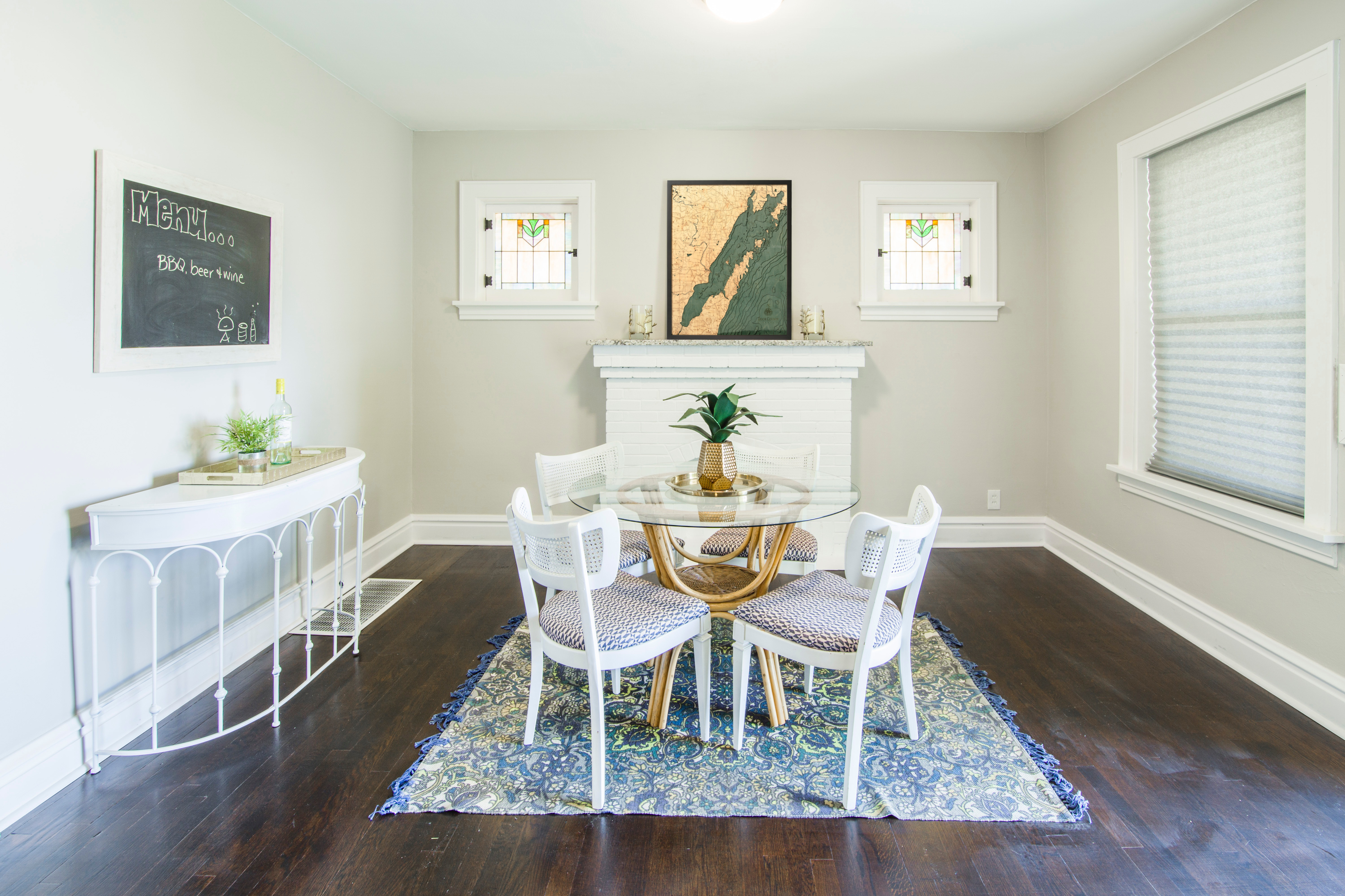
In addition to the color scheme of a map, there are several other design factors to consider. The size of a map may determine the best mode of display. Show a small serving tray map to the best advantage on a surface such as a countertop, coffee table or end table. Larger maps can be mounted. Situate a map above a mantle or at around average eye level on any interior wall.
If you plan to mount a map, you should not only consider the region represented but how the overall appearance of the design seen at any distance will interact with other decorative elements to determine the look of a room. Other design factors such as floor plan usage and light levels can determine how much attention a 3D map will attract.
Display a 3D Wooden City Map
Framing is important if you plan to mount a 3D map on a wall. Most city and nautical maps come with solid wood frames. Other framing options may also be available, depending on map size and design. The display location and presentation you select can enhance the unique optical effect of any 3D wood map.
The light levels in a room have a significant effect on how noticeable the layered design of a map will be to passing observers. Natural or artificial light can show a map to advantage. In addition to light levels, you may also want to consider positioning a 3D wooden city map where occupants and visitors can easily approach and take a closer look. A 3D map on display tends to draw more attention than conventional 2D cartography.
The appearance of any room can be enhanced with a wooden map of the city or waterway of your choice. Whether you are decorating a home or office, a wooden map adds an artisan-crafted and personalized touch to interior space. Choose from wooden maps of cities in selected states or nautical maps.
3D Wooden City Map Chart | Nautical Wood Maps


