Catalina Island
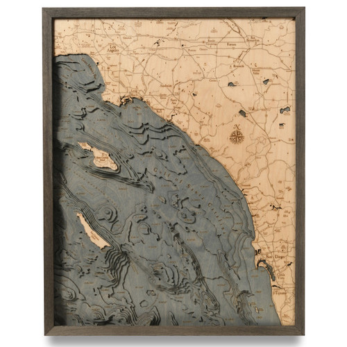
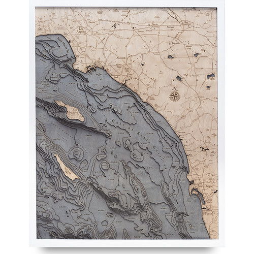
California state is home to the rocky coastal island of Catalina, stretching out 22 miles long and 8 miles across, located south-southwest of Los Angeles, California within the Gulf of Santa Catalina. Mt. Orizaba is the island’s highest point, reaching 2,097 feet high, and is included in the Channel Islands of California’s archipelago. Over the years, Catalina went from belonging to the Europeans and being transferred to Mexico before officially becoming part of the United States. It has a shifty past of being used for smuggling, otter hunting, and gold digging before becoming the booming tourist destination that it is today. Catalina Island is rich with quartz—so much so that many of the beaches along the seaward side have sands that shimmer in a silver-grey color. The island itself is made up of two distinct rock units: Catalina Schist and Miocene volcanic. Initially, these distinct formations occurred along the ocean floor and emerged via tectonic activity, which in turn means that the island’s land-mass of Santa Catalina was never actually connected to the mainland of California.
- 4th July Cove
- Airport in the Sky
- Airport Rd.
- Arrow Point
- Avalon
- Avalon Bay
- Avalon Canyon Rd.
- Banning House rd.
- Ben Weston Beach
- Ben Weston Point
- Bird Rock
- Black Jack Peak
- Black Point
- Boushey Rd.
- Buffalo Beach
- Bullrush Canyon Tr.
- Cactus Bay
- Cactus Peak
- Cape Canyon Trail
- Catalina Canyon
- Catalina Harbor
- China Point
- Church Rock
- Cottonwood Beach
- Cottonwood Tr.
- Descanso Bay
- Divide Rd.
- Eagle Reef
- Eagle Rk.
- East End Lt. Rd.
- East Peak
- El Rancho Escondido Road
- Emerald Bay
- Empire Landing
- Empire Landing Rd.
- Farnsworth Bank
- Gallagher Beach
- Gibraltar Beach
- Goat Harbor
- Hamilton Cove
- Iron Bound Bay
- Isthmus Cove
- Jewfish Point
- Kelp Point
- KRBT Station Rd.
- Little Harbor
- Little Harbor Rd.
- Lobster Bay
- Lone Tree Rd.
- Long Point Lt.
- Lovers Cove
- Middle Ranch
- Middle Ranch Rd.
- Middle Ranch Rd.
- Mt. Banning
- Mt. Orizaba
- Mt. Torquemada
- Outer Santa Barbara Passage
- Palisades
- Paradise Cove
- Parsons Landing
- Ribbon Beach
- Rippers Cove
- Salta Verde Point
- Salta Verde Ridge Rd.
- San Pedro Channel
- Seal Rocks
- Shark Harbor
- Sheep Chute Rd.
- Ship Rock
- Silver Canyon Landing
- Silver Peak
- Silver Peak Trail
- Skull Ridge Rd.
- Smugglers Loop Rd.
- Star Bay
- Stony Point
- Thompsons Reservoir
- Toyon Bay
- Twin Rocks
- Two Harbors
- West End Lt.
- West End Rd.
- Whale Rock
- Whites Landing
- Whites Landing Rd.
- Whitleys Peak


