Crystal Lake
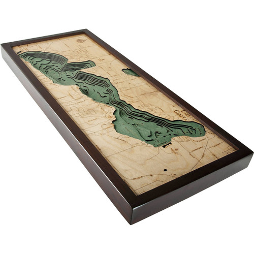
Located just 25 miles southwest of Traverse City and 2 miles northeast of Frankfort is Michigan state’s largest lake, Crystal Lake. It reaches depths of 165 feet and measures 8 miles long. Once known as “Cap Lake” throughout the American Civil War, this whitecap surface lake rests adjacent to the southern reaches of the Sleeping Bear Dunes National Lakeshore. While the watershed that feeds into Crystal Lake is quite small, the water remains exceptionally clear due to the minimal outflow of fertilizer and sewage, giving this lake of beautiful waters the name it has.
- Adams Rd.
- Bellows Ave.
- Benzonia
- Betsie Lake
- Betsie River
- Beulah
- Birch Point Rd.
- Casey Rd.
- Cooper Rd.
- Crystal Ave.
- Crystal Drive
- Crystal Lake
- Elberta
- Franfort Hwy
- Frankfort
- Frankfort Dow Memorial Airport
- Harris Rd.
- Highland Dr.
- Lake Michigan
- Lake St.
- Lobb Rd.
- Long Lake
- Michigan Ave.
- Nicholas Rd.
- North Scenic Hwy
- Onkeonwe Rd.
- Park Ave.
- Pilgrim Hwy
- Platte Rd.
- Point Betsie
- River Rd.
- River Road
- Round Lake
- Rush Lake
- Shorewood Dr.
- Sleeping Bear Dunes National Lakeshore
- Warren Rd.


