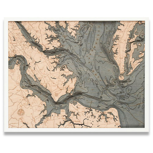
Delaware Bay
Delaware Bay is the estuary outlet of the Delaware River on the Northeast seaboard of the United States. Approximately 782 square miles in area, the bay's fresh water mixes for many miles with the salt water of the Atlantic Ocean. Towns along the bay offer easy access to the water, making them ideal destinations for boating, fishing, hunting, and are also the prime locations in the state for viewing the migrations of shorebirds.
- Arnold Point
- Arnold Point Shoal
- Back Neck Rd.
- Bakeoven Point
- Bay Rd.
- Bay Shore Channel
- Bayshore Rd.
- Bayside Dr.
- Beach Hwy
- Beadon Cove
- Beadon Point
- Beaver Dam Rd.
- Belleplain Rd.
- Belleplain State Forest
- Ben Davis Point
- Bidwell Creek
- Blake Channel
- Bombay Hook National Wildlife Refuge
- Bombay Hook Point
- Bombay Hook Point Shoal
- Brandywine Shoal
- Breakwater Harbor
- Bridgeton
- Broadkill Rd.
- Broadkill River
- Broadkill Slough
- Brown Shoal
- Buckshutem Rd.
- Bupont Blvd.
- Burleigh
- Canterbury Rd.
- Cape Henlopen State Park
- Cape May
- Cape May Canal
- Cape May Channel
- Cape May Court House
- Cape May Harbor
- Cape May Inlet
- Cape May Point
- Cave Neck Rd.
- Cedar Beach Rd.
- Cedar Creek
- Cedar St.
- Cedarbush Hole
- Cedarville
- Cedarville Rd.
- Clark Point
- Coastal Hwy
- Cohansey Cove
- Cohansey River
- Cross Ledge
- DE25
- Deadman Shoal
- Deep Grass Lane
- Delaware
- Delaware River
- Dennis Creek
- Dennisville
- Dividing Creek
- Dorothy
- DOV
- Dover
- Duck Creek River
- Dunkins Bar
- Dunks Point
- Dutch Neck Rd.
- Dyer Cove
- East Creek
- East Creek Mill Rd.
- East Main St.
- Egg Island Flats
- Egg Island Point
- Eph Shoal
- Estell Manor
- Fairton
- Fishing Creek Shoal
- Fortescue
- Fraland Beach
- Frederica
- Garden State Pkwy.
- Goose Point
- Goshen Rd.
- Green Creek
- Greenwich
- Hands Mill Rd.
- Harbeson Rd.
- Hawknest
- Heislerville
- Hen & Chickens Shoal
- Henlopen Acres
- Herring Branch
- Highland St.
- Hoffmans Mill Rd.
- Houston
- Indian Trail Rd.
- Isaacs Rd.
- Jarvis Sound
- Jenkins Sound
- Joe Flogger Shoal
- Johnson Rd.
- Jones Island Rd.
- King Pond
- Lafayette St.
- Laurel Lake
- Lebanon
- Leesburg
- Leipsic River
- Lewes
- Lewes and Rehoboth Canal
- Lewes Beach
- Lewes Georgetown Hwy
- Little River
- Magnolia
- Main St.
- Manumuskin River
- Maurice River
- Maurice River Cove
- Mays Landing Rd.
- McCrie Shoal
- Menantico Creek
- Milford
- Milford Harrington Hwy
- Millville
- Millville Bridge Rd.
- Mispillion River
- MIV
- Moores Beach
- Murderkill River
- Nantuxent Cove
- Nantuxent Point
- Narrow Lane Rd.
- New Jersey
- Newport
- Newport Neck Rd.
- Newport Rd.
- North Ave.
- North Cape May
- North Shoal
- Old Bare Shoal
- Old Mill Creek
- Oranoaken Creek
- Overfalls Shoal
- Oyster Cove
- Pacific Ave.
- Plantation Rd.
- Port Mahon Rd.
- Port Norris
- Prime Hook National Wildlife Refuge
- Prime Hook Rd.
- Primehook Creek
- Prissy
- Ramah Rd.
- Raymond Pool
- Red Mill Pond
- Richardson Sound
- Roosevelt Inlet
- Round Shoal
- Sandy Point
- Seashore Rd.
- Sewell Point
- Shawnee Rd.
- Shearness Pool
- Sheppards Mill Rd.
- Slaughter Beach Rd.
- Slaughter Creek
- Sluice Creek
- Somer Shoal
- South Delsea Dr.
- South State Stree
- South Union Church Rd.
- St. Jones Reserve
- St. Jones River
- Stathems Neck Rd.
- Sunray Beach
- Taylors Cut
- The Glades
- Thompsons Beach
- Thompsonville Rd.
- Trunk Ditch
- Tuckahoe Rive
- Two Mile Beach
- Villas
- W Main St.
- Weatherby Rd.
- West Creek
- Wicks Shoal
- Wildwood Crest
- Woodland Beach
- WWD


