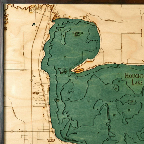
Flathead Lake
Flathead Lake is is a large natural lake in northwest Montana. It is the largest natural freshwater lake west of the Mississippi in the lower 48 states, with over 200 square miles of water and 185 miles of shoreline. The lake is also home to Wild Horse Island where the Kootenai Indians were reported to have pastured their horses to keep them from being stolen by other tribes. Descendants of those horses remain on the island to this day and it is also home to myriad other native wildlife such as bighorn sheep, mule deer, songbirds, waterfowl, bald eagles, and falcons. It is a popular fishing, boating, hiking, and camping spot in the warmer months, and a great snowshoeing, snowmobiling, skiing, and Nordic skiing spot in the winter.
- Baldy Mountain
- Bear Creek
- Bear Dance
- Big Arm
- Big Arm
- Bigfork
- Black Lake
- Blacktail Mountain
- Blue Bay Creek
- Boulder Creek
- Bull Island
- Centipede Creek
- Crane Creek
- Cromwell Island
- Dayton
- Dee Creek
- East Bay
- Elmo
- Finley Point
- Flathead Lake
- Flathead National Forest
- Flathead National Forest
- Flathead River
- Forrey Creek
- Gunderson Creek
- Hell Roaring Creek
- Howsley Creek
- Hunger Creek
- Jette
- Jette Lake
- Johnson Creek
- Kalispell Bay
- Kerr Mountain
- Kings Point
- Lake Mary Ronan
- Lakeside
- Lindisfarne
- Lion Mountain
- Lolo Creek
- Loon Lake
- Meadow Creek
- Middle Fork Dayton Creek
- Miller Point
- Mission Range
- Moss Creek
- Painted Rocks
- Patterson Creek
- Peterson Creek
- Polson
- Polson Bay
- Proctor
- Proctor Creek
- Rocky Point
- Rollins
- Ronan Creek
- Ronan Creek
- Row Lake
- Shelter Island
- Sipes
- Skags Lake
- Skidodo Bay
- Skidoo Creek
- Somers
- Station Creek
- Stoner Creek
- Swan Lake
- Swan River
- Talking Water Creek
- Teepee Creek
- The Narrows
- West Fork Dayton Creek
- White Earth Creek
- Wild Horse Island
- Wild Horse Mountain
- Wolf Creek
- Woods Bay
- Yellow Bay Creek


