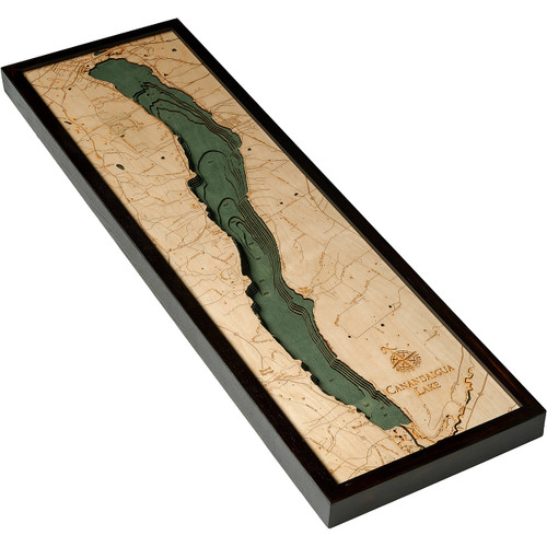
Lake Ontario
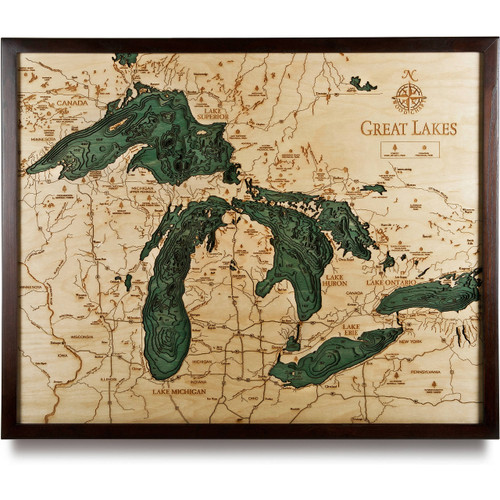
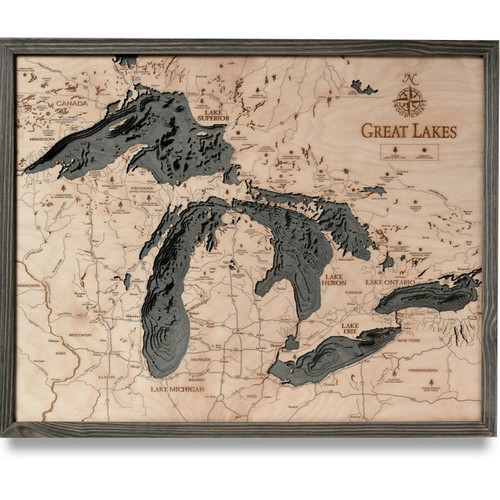
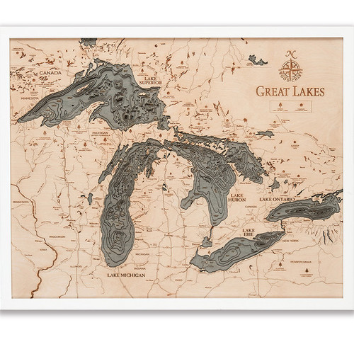
Lake Ontario, which translates to “Lake of Shining Waters”, is one of the five Great Lakes and borders New York and the Canadian province of Ontario. The Niagara River from Lake Erie serves as the primary inlet, while Ontario lets out into the Atlantic Ocean via the Saint Lawrence River. It is 14th largest lake in the world, with a shoreline that runs 712 miles long when all its islands are included. It has several major rivers that drain into Ontario including: the Niagara River, Don River, Humber River, Trent River, Cataraqui River, Genesee River, Oswego River, Black River, Little Salmon River, and the Salmon River.
- Adams Center
- Adolphus Reach
- Airport Road
- Ajax
- Albion
- Amherst Island
- ART Airport
- Athol Bay
- Aurora
- Baldwinsville
- Bay of Quinn
- Belleville
- Big Bear Shoal
- Black River
- Bolton
- Bouchette Point
- Bowmanville
- Bowmanville Creek
- Braddock Point
- Brampton
- Brewerton
- Brighton
- Brockport
- Bronte Creek
- Burlington
- Caledon
- Canada
- Cape Vincent
- Carleton Island
- Cavan
- Central Square
- Charity Shoal
- Chaumont
- Chaumont Bay
- Chaumont River
- Chub Point
- Clayton
- Cleveland
- Cobourg
- Cobourg Brook
- Cobourg Valley
- Cold Creek
- Consecon Lake
- Cooks Bay
- Credit River
- Cressy Point
- Cross Lake
- Crysler Point
- Deseronto
- Don River East Branch
- Duck Galloo Ridge
- East Cross Creek
- East Gwillimbury
- East Kingston Island
- East Lake
- Eastern Beaches
- Eighteen Mile Creek
- Erie Canal
- Erin
- False Duck Island
- Fish Lake
- Fort Drum
- Four Mile Point
- Frankford
- Freelton
- Fulton
- Gage Creek
- Gaines
- Galloo Island
- Gararaska Forest
- Gararaska River
- Genesee Basin
- Goodwood Road
- Grafton
- Greater Napanee
- Grenadier Island
- Grimsby
- Grimsby Beach
- Halton Hills
- Hamilton
- Henderson
- Henderson Bay
- Hilton
- Holland River
- Howe Island
- Humber Bay
- Humber River
- Indian River
- Irondequoit
- Jordan Harbour
- Keswick
- King City
- Kingston
- Lacona
- Lake Ontario
- Lake Road
- Lake Scugog
- Lake Simcoe
- Little Sodus Bay
- Lockport
- Lyndonville
- Mad River
- Main Duck Island
- Marion
- Markham
- Medina
- Mexico
- Mexico Bay
- Millhaven Creek
- Milton
- Mississauga
- Mississauga Basin
- Moira River
- Mud Pond
- Mud Street E.
- Mulcaster Patch
- Murray Canal
- Napanee River
- Nettey Patch
- Newmarket
- Niagara Bar
- Niagara Basin
- Niagara Falls
- Niagara River
- Nine Mile
- North Pond
- Oak Lake
- Oak Orchard Creek
- Oak Orchard Road
- Oakville
- Ogden Point
- Olcott
- Oneida Lake
- Orangeville
- Oshawa
- Oswego
- Oswego River
- Otonabee River
- Otty Point
- Palen Bank
- Parish
- Pefferlaw Brook
- Perch Lake
- Perch River
- Percy Creek
- Pickering
- Picton
- Pigeon River
- Point Petre Ridge
- Popham Bay
- Port Bay
- Port Darlington
- Port Hope
- Port Perry
- Port Weller
- Prince Edward
- Prince Edward Bay
- Prince Edward Point
- Pulaski
- Rice Lake
- Richmond Hill
- Ridge Road
- Ridge Road E.
- Roblin Lake
- ROC Airport
- Rochester
- Rochester Basin
- Roosevelt Highway
- Roseneath
- Rouge River
- Rumsey Shoal
- Sackets Harbor
- Sage Creek
- Salmon River
- Salmon River
- Salmon River Reservoir
- Sandy Creek
- Scotch Bonnet Gap
- Scotch Bonnet Ridge
- Scotch Bonnet Shoal
- Shelter Valley Creek
- Simcoe Island
- Simcoe Island Channel
- Sixteen Mile Creek
- Smoky Point
- Sodus
- Sodus Bay
- Sodus Creek
- Sodus Point
- Soper Creek
- Soup Harbor
- South Sandy Creek
- Spencer Creek
- Spencer Point
- St. Catharines
- St. Lawrence Channel
- St. Lawrence River
- Sterling Creek
- Stony Basin
- Stony Creek
- Stony Island
- Stony Point
- Thirtymile Point
- Timber Island
- Toronto
- Trent River
- Trenton
- Twenty Mile Creek
- USA
- Uxbridge
- Uxbridge Brook
- Vaughan
- Virgil
- W. Duffins Creek
- Warkworth
- Watertown
- Webster
- Welland Canal
- Wellers Bay
- Wellington
- Wellington Bay
- West Kingston Basin
- Whitby
- Whitby-Olcott Ridge
- Whitchurch Stouffville
- Wicked Bank
- Wilson
- Winona State Forest
- Wolfe Island
- YHM Airport
- Youngstown
- YYZ Airport


