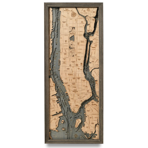
The Hamptons / East Long Island Sound
Between the eastern shores of Bronx County in New York City, and those of Westchester County and Connecticut lies Long Island Sound, an Atlantic Ocean tidal estuary, stretching out over 110 miles from east to west. At its widest point, Long Island Sound reaches 21 miles, with varying depths between 65 and 230 feet of mixed freshwater from the surrounding tributaries and the contribution of saltwater from the ocean. The sound is sprinkled with many cities from both Connecticut and New York, some of which include Bridgeport, New London, Stamford, Norwalk, New Haven, Rye, Glen Cove, New Rochelle, and parts of Queens and the Bronx. Because there are so many cities that border The Sound, ferries provide services shuttling foot passengers, cars, trucks, and buses from Long Island and Connecticut; most notably the Bridgeport & Port of Jefferson Ferry.
- Acabonack Harbor
- Amagansett
- Avondale
- Bartlett Reef
- Black Hall River
- Block Island Sound
- Bostwick Bay
- Bostwick Point
- Bridgehampton
- Central Waterford
- Cerberus Shoal
- Cherry Harbor
- Clinton
- Clinton Harbor
- Connecticut River
- Crow Shoal
- Cutchogue
- Cutchogue Harbor
- Deerfield Rd.
- Devon
- Ditch Plains
- Duck Island Roads
- East Hampton
- East Marion
- Easters Point
- Endeavor Shoals
- Fenwick
- Ferry Point
- Fishers Island
- Fishers Island Sound
- Fkying Point
- Flanders Bay
- Fort Pond
- Fort Pond Bay
- Gardiners Bay
- Gardiners Island
- GON
- Great Gull Island
- Great Island
- Great Peconic Bay
- Greenport
- Hammonsasset River
- Hampton Bays
- Hicks Island
- Hill St.
- Hither Hills St. Park
- Hither Woods
- Hog Creek
- Hog Neck Bay
- HTO
- Jamesport
- Jordan Cove
- Laurel
- Lazy Point
- Little Narragansett Bay
- Little Peconic Bay
- London
- Long Beach
- Long Island Shoal
- Long Island Sound
- Long Pond
- Lords Point
- Madison
- Main Rd.
- Mason’s Island
- Mattituck
- Mattituck Inlet
- Mecox Bay
- Menunketesuck River
- Middle Rd.
- Millstone Rd.
- Montauck Hwy
- Montauk
- Montauk Shoal
- Montaux Point State Park
- MTP
- Mumford Cove
- Mystic Harbor
- Napeague Bay
- Napeague Harbor
- New London Harbor
- New Suffolk
- Niantic
- Niantic Bay
- Niantic River
- North Atlantic Ocean
- North Haven
- North Sea
- North Sea Harbor
- Northwest Harbor
- Noyack Bay
- Noyes Shoal
- Old Lyme
- Old Saybrook
- Old Stone Hwy
- Orient
- Orient Harbor
- Orient Point
- Oyster Pond
- Oyster River
- Patchogue River
- Pattagansett River
- Pawcatuck River
- Peconic
- Piper Cove
- Poouonock River
- Ram Isl.
- Ram Island
- Robins Island
- Sag Harbor
- Sag Harbor Bay
- Sagaponack
- Sagg Rd.
- Saybrook Point
- Scallop Pond
- Seaside
- Shelter Island
- Shelter Island Sound
- Shinnecock Bay
- Shinnecock Hills
- Six Mile Reef
- Smith Cove
- South Cove
- South Lyme
- Southampton
- Southold
- Southold Bay
- Springs
- Squiretown
- Stirling
- Stonington
- Stonington Harbor
- Three Mile Harbor
- Tiana Bay
- Tohaccolot Bay
- Town Lane
- Tuckahoe
- Twotree Island Channel
- Wainscott
- Watch Hill
- Water Mill
- Waterville
- West Harbor
- West Neck Harbor
- Westbrook
- Westbrook Harbor
- Winnapaug Pond
- ZIN


