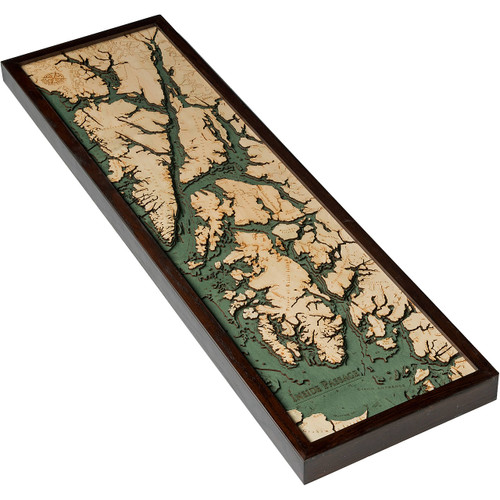
Oregon Coast
The Oregon Coast runs from the north to south along the Pacific Ocean in the Oregon state region of the United States. The coastline stretches out around 363 miles from the northern area of the Columbia River and reaches as far south as the California state border. It is not a specific geological, environmental, or political entity, but includes all the Oregon coastline and the Columbia River Estuary. Free beach access to everyone was implemented in 1967 after passing the Oregon Beach Bill; this also means that private beach landowners retain certain rights while still preserving the beaches from being built on. Oregon residents consider the coast to be sectioned off into three distinct sub-regions, all of which have their own regional history and local features. These three regions include: the North Coast (includes waterways from the Columbia River to Cascade Head), the Central Coast (spans from Cascade Head to Reedsport), and finally the South Coast (stretches from Reedsport to the Oregon-California border). Highway 101 is the primary route taken along the coastline by vehicle and is known for its scenic overlooks of the Pacific Ocean on a stretch that goes from the city of Astoria all the way to Brookings, and includes over 80 state parks and recreation areas along the way.
- Agness
- Alsea
- Alsea Bay
- Alsea River
- Arch Cape
- Astoria
- Astoria Canyon
- Bandon
- Bay City
- Bear Creek
- Beverly Beach
- Blanco Reef
- Boiler Bay
- Broadbent
- Brookings
- California
- Camas Valley
- Cannon Beach
- Captain Cook Point
- Charleston
- Chetco River
- Chinook
- Clastop State Forest
- Cloverdale
- Coal Point
- Columbia River
- Coos Bay
- Coos River
- Coquille
- Coquille Point
- Coquille Reservation
- Coquille River
- Corvallis Watershed Wild Animal Refuge
- Depoe Bay
- Devils Lake
- Elk Creek
- Elk River
- Elkton
- Elliott State Forest
- Falls City
- Fivemile Point
- Floras Creek
- Florence
- Fourmile Creek
- Gaylord
- Glasgow
- Glendale
- Gold Beach
- Grand Ronde Community
- Heceta Bank
- Heceta Beach
- Heceta Head
- Island Rock
- Isthmus Slough
- Klaskanine River
- Lake Creek
- Lakeside
- Lewis and Clark River
- Lincoln Beach
- Manzanita
- Myrtle Point
- Nehalem Bay
- Nehalem River
- Nestucca Bay
- Nestucca River
- Netarts Bay
- Newport
- North Bend
- North Fork Nehalem River
- North Fork Smith River
- Oregon Coast Highway
- Orford Reef
- Pacific City
- Pacific Ocean
- Pistol River
- Port Orford
- Powers
- Reedsport
- Rockaway Beach
- Rogue River
- Rogue River Reef
- Rogue River-Siskiyou National Forest
- Salmonberry River
- Salmon River
- Scholfield Creek
- Sea Lion Point
- Seal Rock
- Seaside
- Siletz
- Siletz Bay
- Siletz River
- Siltcoos Lake
- Siuslaw National Forest
- Siuslaw River
- Sixes River
- Smith River
- Smuggler Cove
- Stonewall Bank
- Tamkenitch Lake
- Tenmile Lake
- Three Arch Rocks
- Tillamook
- Tillamook Bay
- Tillamook Head
- Tillamook State Forest
- Toledo
- Trask River
- Triangle Lake
- Umpoqua River
- Umpqua
- Wakonda Beach
- Waldport
- Warrenton
- Washington
- West Fork Millicoma River
- Wheeler
- Willamina
- Wilson River
- Yachata
- Yaquina Bay
- Yaquina Head
- Yaquina River
- Youngs River


