Straits of Mackinac
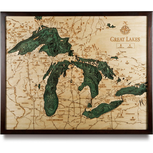
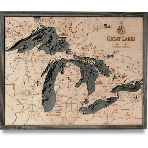
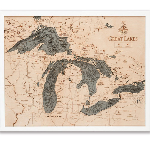
In between Michigan’s Lower and Upper Peninsulas, there are a series of narrow waterways known as the Straits of Mackinac. Its primary strait connects two of the Great Lakes, Lake Michigan and Lake Huron. The native Odawa people once called this lake Michilimackinac, but is now referred to as the strait that is “whipsawed by currents unlike anywhere else in the Great Lakes.” There are two populated islands in the straits, Bois Blanc and Mackinac. The Round and St. Helena islands are uninhabited. This body of water is also used as a major shipping lane from the iron mines of Minnesota to the steel mills of Gary, Indiana. Raw materials and finished goods alike are passaged along this watery highway. Many immigrants arrived in the Midwest via ships along the Great Lakes before the railway system reached the city of Chicago, though today the only passenger ferries available take people to Mackinac Island, where cars are not permitted.
- Big St. Martin Island
- Big Stone Bay
- Birch Island
- Bois Blanc Island
- Brulee Point
- Cecil Bay
- Chain Lake
- Cheboygan
- Cheboygan State Park
- Cranberry Lake
- Cross Village
- Cube Point
- Duck Bay
- Duncan Bay
- East Moran Bay
- East Wilderness Park Dr.
- French Farm Lake
- Freschette Lake
- Gamble Lake
- Gaylord State Forest Area
- Goose Island
- Goose Island Shoal
- Green Island
- Grosse Point
- Hay Lake
- Horseshoe Bay
- La Salle Island
- Lake Huron
- Lake Mary
- Lake Michigan
- Lake Paradise
- Lawrence Lake
- Lime Kiln Point
- Little La Salle Island
- Mackinac Bay
- Mackinac Island
- Mackinaw City
- Mackinaw Hwy
- Manitou Paymen Shoal
- Marquette Bay
- Martin Lake
- Mc Rae Bay
- McGulpins Point Light
- Mismer Bay
- Mud Lake
- Muscallonge Bay
- North Huron Shore Dr.
- North Lakeshore Dr.
- North State Rd.
- North State St.
- O’Neal Lake
- Old Mackinac Point Lighthouse
- Old Mill State Park
- Paquin Lake
- Peck Bay
- Point Aux Chenes Bay
- Point Aux Chenes River
- Point Detachee
- Point Fuyards
- Point Nipigon
- Pointe Aux Pins
- Rabbit Back Peak
- Round Island
- Round Island Passage Lighthouse
- Sand Bay
- Search Bay
- Sheppard Bay
- Silver Lake
- St. Helena Island
- St. Helena Shoal
- St. Ignace
- St. Martin Bay
- St. Martin Island
- St. Martin Point
- Straits of Mackinac
- Sturgeon Bay
- Sturgeon Bay Point
- Temperance Island
- Thompson Lake
- Township Park
- Trails End Bay
- Twin Lakes
- Urie Bay
- W Levering Rd.
- W Moran Bay
- Waugoshance Island
- Waugoshance Point
- Wilderness Bay
- Wilderness State Park
- Wycamp Lake
- Zela Point
SOLD OUT - Shop Michigan Nautical Charts Here


