Making a Three-Dimensional Wood Map of Any Location
Posted by Nautical Wood Maps on 28th Oct 2020
Each of our maps is a hand-crafted, one-of-a-kind creation intended to commemorate and celebrate coastal, island and other nautical locations around the United States and beyond. Regions we have celebrated with 3D wood maps include:
Many of our subjects are popular tourist spots, including the San Francisco Bay Area, Myrtle Beach, Hilton Head and the islands of Hawaii. But our maps are not limited to the most popular tourist areas; we can create a map of any coastal, island or other water-related regions.
Coastal and Water-Based Locations
When selecting a locale for a new 3D map, keep in mind that all of our locations are based around water. Our maps incorporate blues and grays in order to create an interesting contrast between land and the water around it. A map of a landlocked area or city would look far less interesting. Within this theme of water-based locations, we have immense flexibility in the kinds of places for which we create maps. From entire continents to tiny islands, and even large lakes, we can make a detailed map of any coastline or region.
3-D Wood Maps By
Request

Each of our maps is handcrafted, made to order and takes a long time to create. For all of these reasons, new regions are added only upon request. Any map location not featured on our website can be created, but enough people have to request it first.
International Locations
From New York to California and Cape Cod to Hilton Head, Nautical Wood Maps offers detailed representations of popular American islands and coastlines. But our interest is not limited to just America; we offer a variety of international locations as well. Some of our most popular international maps include:
Just like US coastal regions, international coastal areas are selected based on the number of requests. If you want a map of a specific location, put in a request, and we may end up creating it!

How We Make Our 3-D Wood Maps
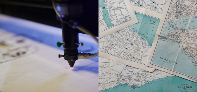
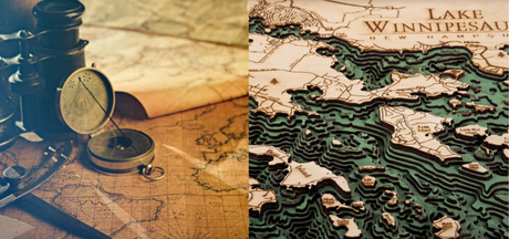
In order to create highly detailed maps, our cartographers study satellite images, as well as topographic and bathymetric charts, in order to determine what the land and water look like. They use layers of thin wood to create the landscape, with blue wood layers showing the water. The cartographer then adds precise carvings to show various detailed land features, including:
- Rivers
- Cities and towns
- State parks
- Major roads
Water features include islands, harbors and channels. Using different layers to design a topographical layout, as well as representing prominent features such as cities and towns, creates an astonishing level of detail for each region.
Map size and shape is determined by the region itself and the amount of detail desired. A map showing an entire country, such as the United Kingdom, will have less overall detail than a map showing a specific part of a coastline, such as Charleston, South Carolina.
If you want a unique wall decoration or a special gift for someone, request a map to add to our 3D wood maps collection today.
Popular Lake Bodies Water 3D Wooden Chart | Nautical Wood Maps

